
File:Chinatown map.png
Size of this preview: 570 × 600 pixels. Other resolutions: 228 × 240 pixels | 456 × 480 pixels | 924 × 972 pixels.
Original file (924 × 972 pixels, file size: 459 KB, MIME type: image/png)
| This is a file from the Wikimedia Commons. Information from its description page there is shown below. Commons is a freely licensed media file repository. You can help. |
His
Summary
| Description |
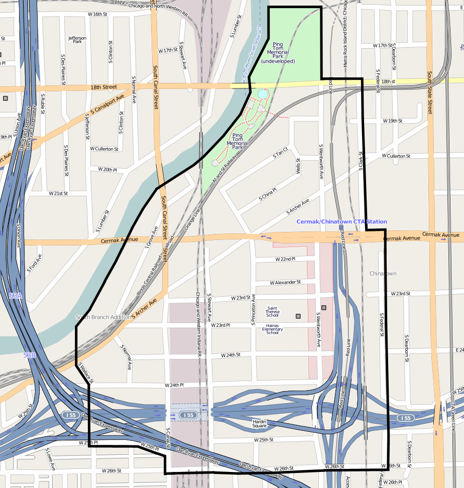
English: w:Chinatown (Chicago) |
||||||||||||
| Date | |||||||||||||
| Source | http://www.openstreetmap.org/?lat=41.8519&lon=-87.63479&zoom=16&layers=B000FTFT | ||||||||||||
| Author | OpenStreetMap and edited by w:User:Nickvet419 | ||||||||||||
| Permission (Reusing this file) |
|
Licensing
This file is licensed under the Creative Commons Attribution-Share Alike 2.0 Generic license.
- You are free:
- to share – to copy, distribute and transmit the work
- to remix – to adapt the work
- Under the following conditions:
- attribution – You must give appropriate credit, provide a link to the license, and indicate if changes were made. You may do so in any reasonable manner, but not in any way that suggests the licensor endorses you or your use.
- share alike – If you remix, transform, or build upon the material, you must distribute your contributions under the same or compatible license as the original.
File history
Click on a date/time to view the file as it appeared at that time.
| Date/Time | Thumbnail | Dimensions | User | Comment | |
|---|---|---|---|---|---|
| current | 04:10, 23 November 2011 | | 924 × 972 (459 KB) | Torsodog | |
| 03:43, 21 November 2011 |  | 712 × 1,059 (298 KB) | Nickvet419 | Time line added | |
| 21:27, 20 November 2011 |  | 924 × 972 (459 KB) | Torsodog | ||
| 09:06, 20 November 2011 |  | 812 × 651 (205 KB) | Nickvet419 | Updated boundary according to the City of Chicago official GIS neighborhood map. [https://gisapps.cityofchicago.org/mapchicago/viewer.htm Chicago GIS Viewer] | |
| 14:03, 26 August 2009 |  | 924 × 972 (459 KB) | Torsodog | {{Information |Description= |Source=Own work by uploader |Date= |Author=Torsodog |Permission= |other_versions= }} | |
| 19:32, 10 August 2009 |  | 924 × 845 (402 KB) | Torsodog | {{Information |Description= |Source=Own work by uploader |Date= |Author=Torsodog |Permission= |other_versions= }} | |
| 17:59, 10 August 2009 |  | 893 × 781 (356 KB) | Torsodog | == Summary == {{Information |Description={{en|1=w:Chinatown (Chicago)}} |Source=http://www.openstreetmap.org/?lat=41.8519&lon=-87.63479&zoom=16&layers=B000FTFT |Author=OpenStreetMap and edited by w:User:Torsodog |Date=2009-08-10 |Permission={{op |
File usage
The following pages on the English Wikipedia use this file (pages on other projects are not listed):
Global file usage
The following other wikis use this file:
- Usage on eu.wikipedia.org
- Usage on he.wikipedia.org
- Usage on www.wikidata.org
- Usage on baike.710302.xyz