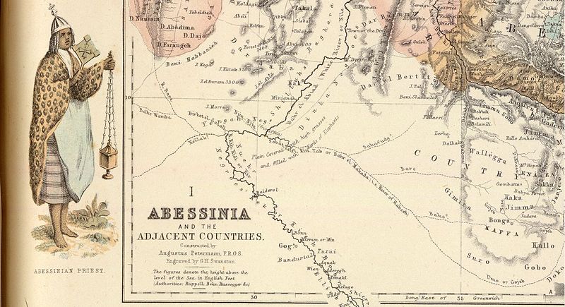
File:Fullarton8 1860s Map of Central Africa.jpg
Appearance

Size of this preview: 800 × 435 pixels. Other resolutions: 320 × 174 pixels | 640 × 348 pixels | 1,358 × 739 pixels.
Original file (1,358 × 739 pixels, file size: 258 KB, MIME type: image/jpeg)
File history
Click on a date/time to view the file as it appeared at that time.
| Date/Time | Thumbnail | Dimensions | User | Comment | |
|---|---|---|---|---|---|
| current | 10:39, 25 July 2012 |  | 1,358 × 739 (258 KB) | Paul venter | {{Information |Description ={{en|1=Portion of A. Fullarton map "Abessinia and the Adjacent Countries" from the atlas "Royal Illustrated Atlas of Modern Geography" published in Edinburgh 1864-1872}} |Source = http://www.davidrumsey.com/luna/... |
File usage
The following page uses this file:
