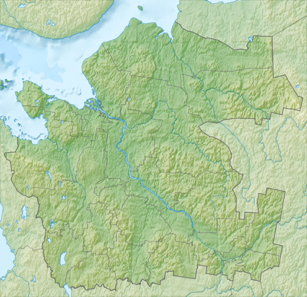
File:Relief Map Archangelsk Oblast mainland.png
Appearance

Size of this preview: 619 × 599 pixels. Other resolutions: 248 × 240 pixels | 496 × 480 pixels | 994 × 962 pixels.
Original file (994 × 962 pixels, file size: 977 KB, MIME type: image/png)
File history
Click on a date/time to view the file as it appeared at that time.
| Date/Time | Thumbnail | Dimensions | User | Comment | |
|---|---|---|---|---|---|
| current | 17:34, 6 March 2012 |  | 994 × 962 (977 KB) | Nzeemin |
File usage
The following 8 pages use this file:
Global file usage
The following other wikis use this file:
- Usage on ar.wikipedia.org
- Usage on az.wikipedia.org
- Usage on ba.wikipedia.org
- Usage on be.wikipedia.org
- Usage on bg.wikipedia.org
- Usage on bn.wikipedia.org
- Usage on ceb.wikipedia.org
- Usage on cs.wikipedia.org
- Usage on da.wikipedia.org
- Usage on de.wikipedia.org
- Usage on es.wikipedia.org
- Usage on fi.wikipedia.org
- Usage on frr.wikipedia.org
- Usage on fr.wikipedia.org
- Kholmogory
- Île Morjovets
- Parc national du Kenozero
- Modèle:Géolocalisation/Oblast d'Arkhangelsk (continental)
- Bolchoï Khalouï
- Goujovo (oblast d'Arkhangelsk)
- Morchtchikhinskaïa (Petchnikovskoïe)
- Morchtchikhinskaïa (Pavlovskoïe)
- Fominskaïa (raïon de Kargopol)
- Niz (Ochevenskoïe)
- Pogost Navolotchny
- Pogost (Oukhotskoïe)
- Bolchaïa Kondratovskaïa
- Stoletovskaïa
- Prigorodny (oblast d'Arkhangelsk)
View more global usage of this file.

