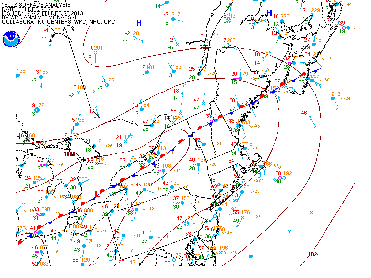
File:Surface map NE US CANADA 2013122018.gif
Appearance
Surface_map_NE_US_CANADA_2013122018.gif (750 × 562 pixels, file size: 28 KB, MIME type: image/gif)
File history
Click on a date/time to view the file as it appeared at that time.
| Date/Time | Thumbnail | Dimensions | User | Comment | |
|---|---|---|---|---|---|
| current | 12:48, 29 December 2013 |  | 750 × 562 (28 KB) | Pierre cb | {{Information |Description ={{en|1=Surface weather map of Dsecember 20, 2013, at 18 UTC for the 2013 Central and Eastern Canada ice storm.}} {{fr|1=Carte météorologique de surface pour 18 UTC le 20... |
File usage
The following page uses this file:
Global file usage
The following other wikis use this file:
- Usage on fr.wikipedia.org


