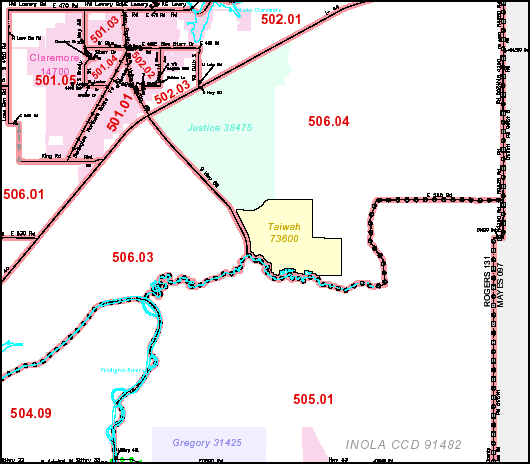
File:Tiawah CDP map.png
Appearance
Tiawah_CDP_map.png (530 × 464 pixels, file size: 29 KB, MIME type: image/png)
File history
Click on a date/time to view the file as it appeared at that time.
| Date/Time | Thumbnail | Dimensions | User | Comment | |
|---|---|---|---|---|---|
| current | 22:14, 20 April 2008 |  | 530 × 464 (29 KB) | File Upload Bot (Magnus Manske) | {{BotMoveToCommons|en.wikipedia}} {{Information |Description={{en|Detail of map made by the US Census Bureau [http://ftp2.census.gov/plmap/pl_trt/st40_Oklahoma/c40131_Rogers/CT40131_001.pdf] and is in the public domain. en:Category:Oklahoma maps}} |
File usage
The following page uses this file:
Global file usage
The following other wikis use this file:
- Usage on ro.wikipedia.org


