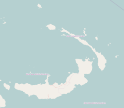
Bakop
Appearance
Bakop | |
|---|---|
Village | |
| Coordinates: 4°45′S 152°57′E / 4.750°S 152.950°E | |
| Country | |
| Province | New Ireland Province |
| District | Namatanai District |
Bakop is a village on the south coast of New Ireland, Papua New Guinea. It is located in Konoagil Rural LLG. The vertical cliffs nearby are said to be "a product of a localised limestone outcrop."[1]
References
[edit]- ^ Hair, Cathy (1996). Lak marine survey: an ecological assessment of the coral reef and near shore environments of southern New Ireland, Papua New Guinea. PNG Biodiversity Conservation and Resource Management Programme. p. 12. ISBN 978-9980-9991-0-8. Retrieved 31 December 2012.

