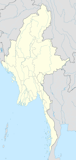
Kanyutkwin
Appearance
This article needs additional citations for verification. (April 2011) |
Kanyutkwin | |
|---|---|
Town | |
| Coordinates: 18°21′0″N 96°30′0″E / 18.35000°N 96.50000°E | |
| Country | |
| Region | |
| District | Taungoo |
| Township | Phyu |
| Time zone | UTC+6.30 (MST) |
| Area code | 54 |
| [1] | |
Kanyutkwin (Burmese: ကညွတ်ကွင်းမြို့)[2] is a town in Pyu Township, Taungoo District, Pegu region in Myanmar, also known as Burma.
Etymology
[edit]Kanyutkwin: Kanyut - a breed of plant + Kwin - lake. Kanyutkwin: Lake with Kanyut plants.
References
[edit]External links
[edit]


