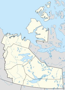
Lutselk'e Water Aerodrome
Appearance
Lutselk'e Water Aerodrome | |||||||||||
|---|---|---|---|---|---|---|---|---|---|---|---|
| Summary | |||||||||||
| Airport type | Public | ||||||||||
| Operator | Łutselk'e Dene Council | ||||||||||
| Location | Łutselk'e, Northwest Territories | ||||||||||
| Time zone | MST (UTC−07:00) | ||||||||||
| • Summer (DST) | MDT (UTC−06:00) | ||||||||||
| Elevation AMSL | 514 ft / 157 m | ||||||||||
| Coordinates | 62°24′N 110°45′W / 62.400°N 110.750°W | ||||||||||
| Map | |||||||||||
 | |||||||||||
| Runways | |||||||||||
| |||||||||||
Source: Water Aerodrome Supplement[1] | |||||||||||
Lutselk'e Water Aerodrome (TC LID: CEB9) is a seaplane base located at Łutselk'e, Northwest Territories on Great Slave Lake. It is open from mid-June until September. However, drifting ice may be encountered until July.
See also
[edit]References
[edit]- ^ Nav Canada's Water Aerodrome Supplement. Effective 0901Z 26 March 2020 to 0901Z 22 April 2021.


