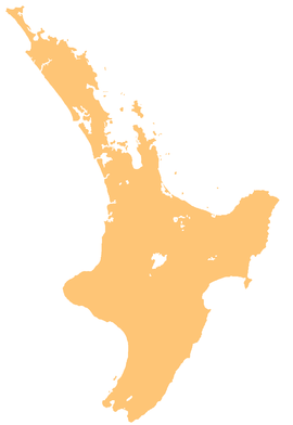
Ngatiawa River
Appearance
| Ngatiawa River | |
|---|---|
 Route of the Ngatiawa River | |
| Location | |
| Country | New Zealand |
| Physical characteristics | |
| Source | |
| • location | Tararua Range |
| • coordinates | 40°57′31″S 175°09′33″E / 40.95848°S 175.15906°E |
| Mouth | |
• location | Waikanae River |
• coordinates | 40°53′52″S 175°05′41″E / 40.89766°S 175.0947°E |
| Basin features | |
| Progression | Ngatiawa River → Waikanae River → Rauoterangi Channel → South Taranaki Bight → Tasman Sea |
| Landmarks | Tararua Forest Park, Reikorangi |
The Ngatiawa River is a river on the Kāpiti Coast of New Zealand's North Island that is a major tributary of the Waikanae River.[1] Its headwaters are in the Tararua Range and it flows north and northwest through the Akatarawa Valley to Reikorangi, where it meets the Waikanae River.
References
[edit]- ^ "Place name detail: Ngatiawa River". New Zealand Gazetteer. New Zealand Geographic Board. Retrieved 23 April 2010.


