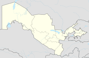
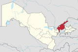
Oʻrtaovul
Appearance
Oʻrtaovul | |
|---|---|
urban-type settlement | |
| Coordinates: 41°11′27″N 69°08′58″E / 41.19083°N 69.14944°E | |
| Country | |
| Region | Tashkent Region |
| District | Zangiota District |
| Urban-type settlement status | 1974 |
| Population (1989) | |
• Total | 13,271 |
| Time zone | UTC+5 (UZT) |
Oʻrtaovul (Uzbek: Oʻrtaovul/Ўртаовул, Russian: Уртааул, romanized: Urtaaul) is an urban-type settlement in Tashkent Region, Uzbekistan. It is part of Zangiota District.[1] The town's population in 1989 was 13,271.[2]
References
[edit]- ^ "Classification system of territorial units of the Republic of Uzbekistan" (in Uzbek and Russian). The State Committee of the Republic of Uzbekistan on statistics. July 2020.
- ^ Population census-1989


