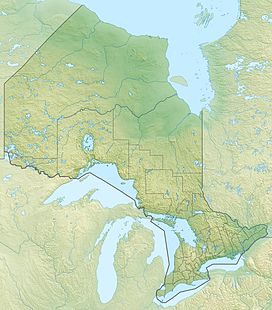
Rib Mountain (Ontario)
Appearance
| Rib Mountain | |
|---|---|
| Highest point | |
| Elevation | 520 m (1,710 ft) |
| Coordinates | 47°12′27″N 79°40′06″W / 47.2074241733318°N 79.66833744292693°W[1] |
| Geography | |
| Location | Timiskaming District and Nipissing District, Ontario, Canada |
| Topo map | NTS 31M4 Témagami |
Rib Mountain is a mountain that straddles the border between the municipalities of Latchford, Timiskaming District and Temagami, Nipissing District in Northeastern Ontario, Canada. It divides Friday Lake on the east and Rib Lake on the west.[2]
References
[edit]- ^ Atlas of Canada - Toporama. Accessed 2017-11-19.
- ^ "Benefication Report on the Temagami Traprock Property". AFRI 31M04NE2014.
{{cite journal}}: Cite journal requires|journal=(help)

