Cantonment Thana
Cantonment
ক্যান্টনমেন্ট | |
|---|---|
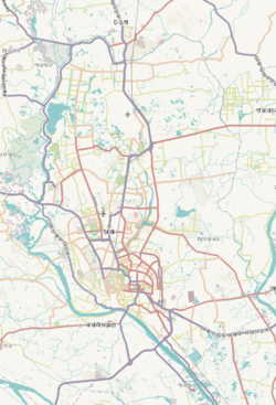
 Expandable map of vicinity of Cantonment Thana | |
| Coordinates: 23°49.3′N 90°24.5′E / 23.8217°N 90.4083°E | |
| Country | |
| Division | Dhaka Division |
| District | Dhaka District |
| Area | |
| • Total | 14.47 km2 (5.59 sq mi) |
| Elevation | 23 m (75 ft) |
| Population (2022)[2] | |
| • Total | 135,785 |
| • Density | 9,113/km2 (23,600/sq mi) |
| Time zone | UTC+6 (BST) |
| Area code | 1206[3] |
| Website | bangladesh |
Cantonment Thana (Bengali: ক্যান্টনমেন্ট) is a Thana of Dhaka district in the Division of Dhaka, Bangladesh. It includes the Army Headquarters,[citation needed] Naval Headquarters and the Air Force Headquarters. Cantonment Thana was formed in 1976.[4]
Geography
[edit]Cantonment is located at 23°49′20″N 90°24′30″E / 23.8222°N 90.4083°E. It has 36540 units of household[citation needed] and total area 14.47 km2.[4]
Demographics
[edit]According to the 2011 Bangladesh census, Cantonment Thana had 25,198 households with an average household size of 4.42 and a population of 131,864. Males constituted 57.03% (75,201) of the population while females 42.97% (56,663). Cantonment Thana had a literacy rate (age 7 and over) of 84.9%, compared to the national average of 51.8%, and a sex ratio of 133.There were 264 floating people in this jurisdiction. [6]
The religious breakdown was Muslim 98.00% (129,230), Hindu 1.40% (1,844), Christian 0.39% (515), Buddhist 0.17% (219), and others 0.04% (56). The ethnic minority people living there were 144 persons in total.
See also
[edit]References
[edit]- ^ "Geographic coordinates of Dhaka, Bangladesh". DATEANDTIME.INFO. Retrieved 7 July 2016.
- ^ National Report (PDF). Population and Housing Census 2022. Vol. 1. Dhaka: Bangladesh Bureau of Statistics. November 2023. p. 386. ISBN 978-9844752016.
- ^ "ঢাকা পোস্টকোড". ডাক অধিদপ্তর. Retrieved 17 January 2024.
- ^ a b Ahmed, Syed Shabbir (2012). "Cantonment Thana". In Islam, Sirajul; Jamal, Ahmed A. (eds.). Banglapedia: National Encyclopedia of Bangladesh (Second ed.). Asiatic Society of Bangladesh.
- ^ "Bangladesh Population and Housing Census 2011 Zila Report – Dhaka" (PDF). bbs.gov.bd. Bangladesh Bureau of Statistics.
- ^ "Community Tables: Dhaka district" (PDF). bbs.gov.bd. 2011.

